Footsteps
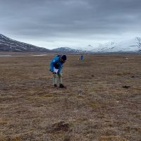
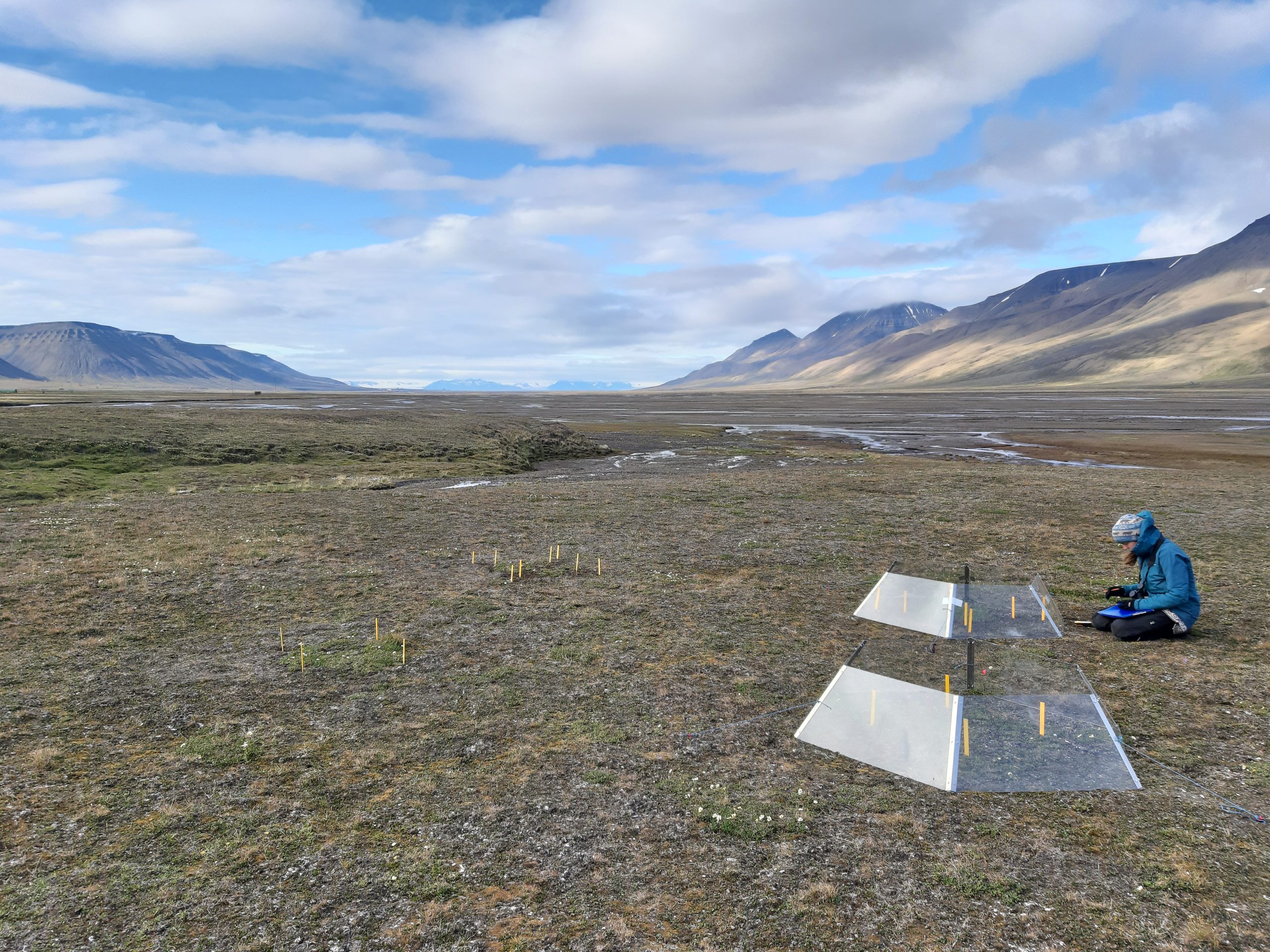
How does human trampling affect plant growth and community composition, CO2 exchange, permafrost thaw and soil density in various ecosystems in Adventdalen & Endalen? Read More …
Engaging tomorrow's scientists

How does human trampling affect plant growth and community composition, CO2 exchange, permafrost thaw and soil density in various ecosystems in Adventdalen & Endalen? Read More …
How did the M’Clintock Channel Ice Stream and its associated ice shelf in the Canadian Arctic Archipelago evolve and collapse at the
end of the Last Glaciation?
Can GIS mapping the flowsets indicated by elongate glacial bedforms in satellite imagery on adjacent Victoria and Prince of Wales
islands elucidate ice flow patterns and help determine when this sector of the Northwest Passage first opened? Read More …

Can we systematically acquire digital outcrop models by SfM to make a base line of Svalbard in times of changing climate? Read More …

The goal of this project is to characterize the benthic communities at glacier fronts and compare them to other fjordic benthic communities in order to understand how seafloor communities are affected by the conditions at glacier fronts. Animal collections have been made at a number of glacier impacted sites in various fjords around Svalbard (Tempelfjorden, Billefjorden, Hornsund) as well as at sites not impacted by glaciers. River mouths have some, but not all the same features of glacier fronts, therefore another comparison that will be made is with sites impacted by river runoff. Read More …

Since 2011 UNIS has been sampling a marine time series station close to Longyearbyen at weekly to monthly intervals year-round, to find out how the water-masses, nutrients, biological communities and production changes between seasons, between years and long term. As far as we know IsA is the northernmost year-round time series in the world. At the Department of Arctic Biology we focus on plankton and microbes, organisms that have short generation times and therefore respond quickly to environmental changes, making them excellent tracers of climate change effects.
Read More …
Predicting ecosystems responses to changing environmental conditions is one of the most pressing challenges in ecology today. In the past few decades, mean annual temperatures in the Arctic have risen by 2-4 ºC while rain-on-snow events are becoming more frequent. Other environmental changes can be seen in a drastic increase in the goose population. All of these changes may have repercussions on C and N cycling as well as microbial functional diversity and activity in the soil. Read More …