
Research question
Can we systematically acquire digital outcrop models by SfM to make a base line of Svalbard in times of changing climate?
Project description
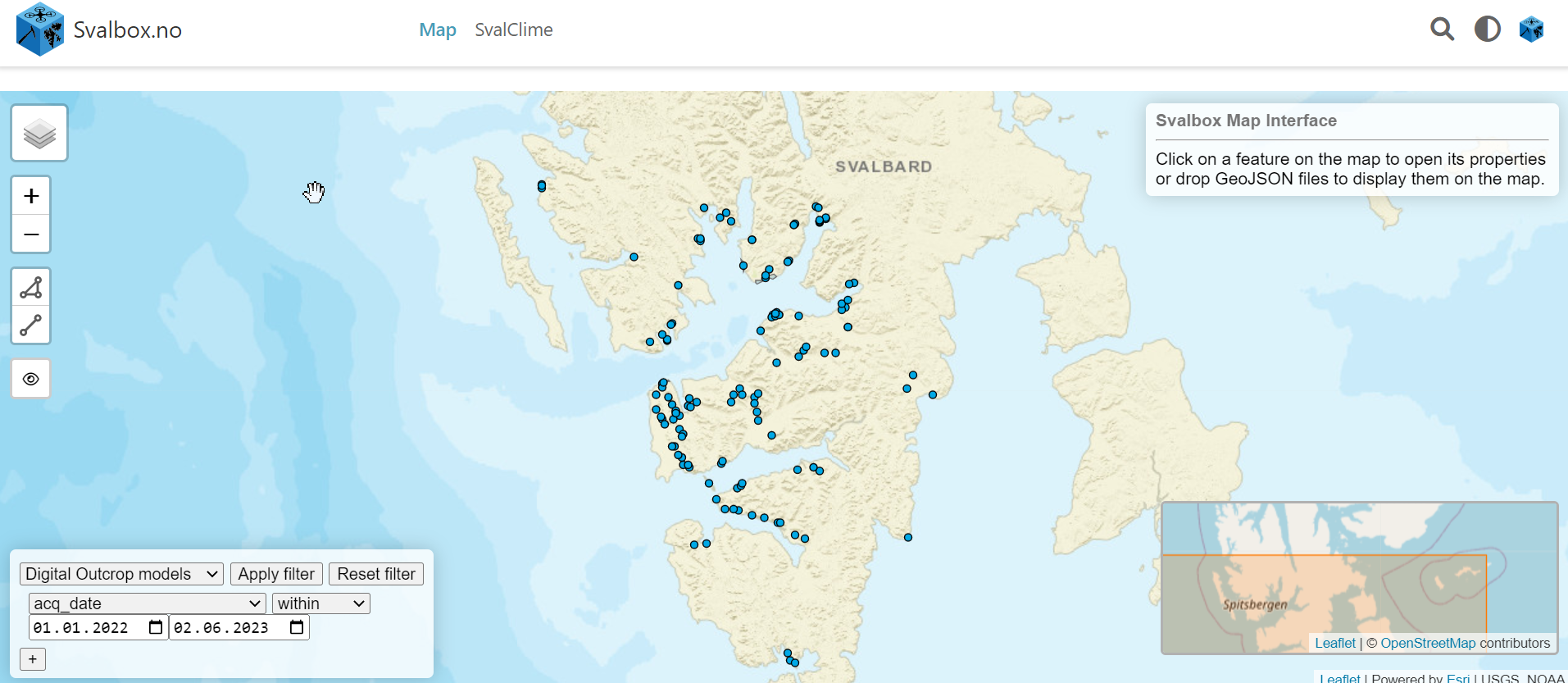
 Digital models of outcrops allow quantitative data analyses, extracting information about structural features (faults, fractures, magmatic intrusions etc.) and sedimentology (lithology, bed thickness etc.). This irrespective of the season, with unlimited usage of models also in the long snow-covered and dark season. In the past, digital outcrop models have been acquired with lidar scanners (on the ground, on helicopters and recently also in smartphones) but the exponential increase in cost-effective drones and Structure-from-motion (SfM) photogrammetry software has led to a revolution in how efficiently high-quality outcrop models can be generated. In practice we acquire many overlapping photographs and use the Agisoft Metashape software to generate the digital outcrop models. Notably, the same method can also be applied to making digital models of infrastructure, cultural heritage as well as outcrops.The Svalbox team at UNIS has since 2016 systematically acquired digital outcrop data and shares these openly through the portal at www.svalbox.no/map. Here anyone can download the digital outcrop models, including the input photographs and the Agisoft projects. When acquiring pictures for digital outcrop models, we also take photospheres which are shared via the Svalbox and VRsvalbard.com platforms.
The project involves:
 Office work in AG seismic lab, processing and uploading digital outcrop models from 2022 and 2023 field seasons (supervised largely by Nil Rodes and Rafael Horota)Potentially some near-town fieldwork (from Grumant to Bolterdalen, potentially also on other side of Adventfjorden) over the summer to expand the present-day coverageTime-lapse surveys to build on surveys acquired in summer 2022 to see how the landscape is changing
Starting date/period: June 15, 2023 – Sept 30, 2023
Involvement
The work is quite flexible and can easily be combined also with other jobs (e.g. guiding) over the summer Adequate workflows are provided, as is on the job training. https://unisvalbard.github.io/Geo-SfM/landing-page.html
Experience/skills to be acquired
Processing of photogrammetric modelsUploading the models to the Svalbox platform and the Zenodo repositoryPotentially some (supervised) drone flying in the near-town area to acquire more data
PrerequisitesIdeally a geoscientist with some computer experience for the processingDrone flying skills useful for the near-town acquisition
Interested in this project or need more info? Contact:
Kim Senger (kims@unis.no)
Project number: 30